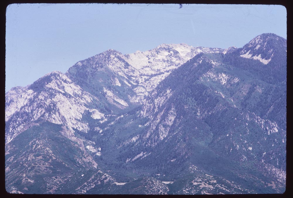
For my midterm, I used ArcGIS Online to map Charles W. Cushman’s photos from 1966 and explore how the environment influenced Cushman’s photography. You can find my project here and navigate to the “About” page to read my methods.
Midterm: Analyzing the Relationship Between Photography and Place