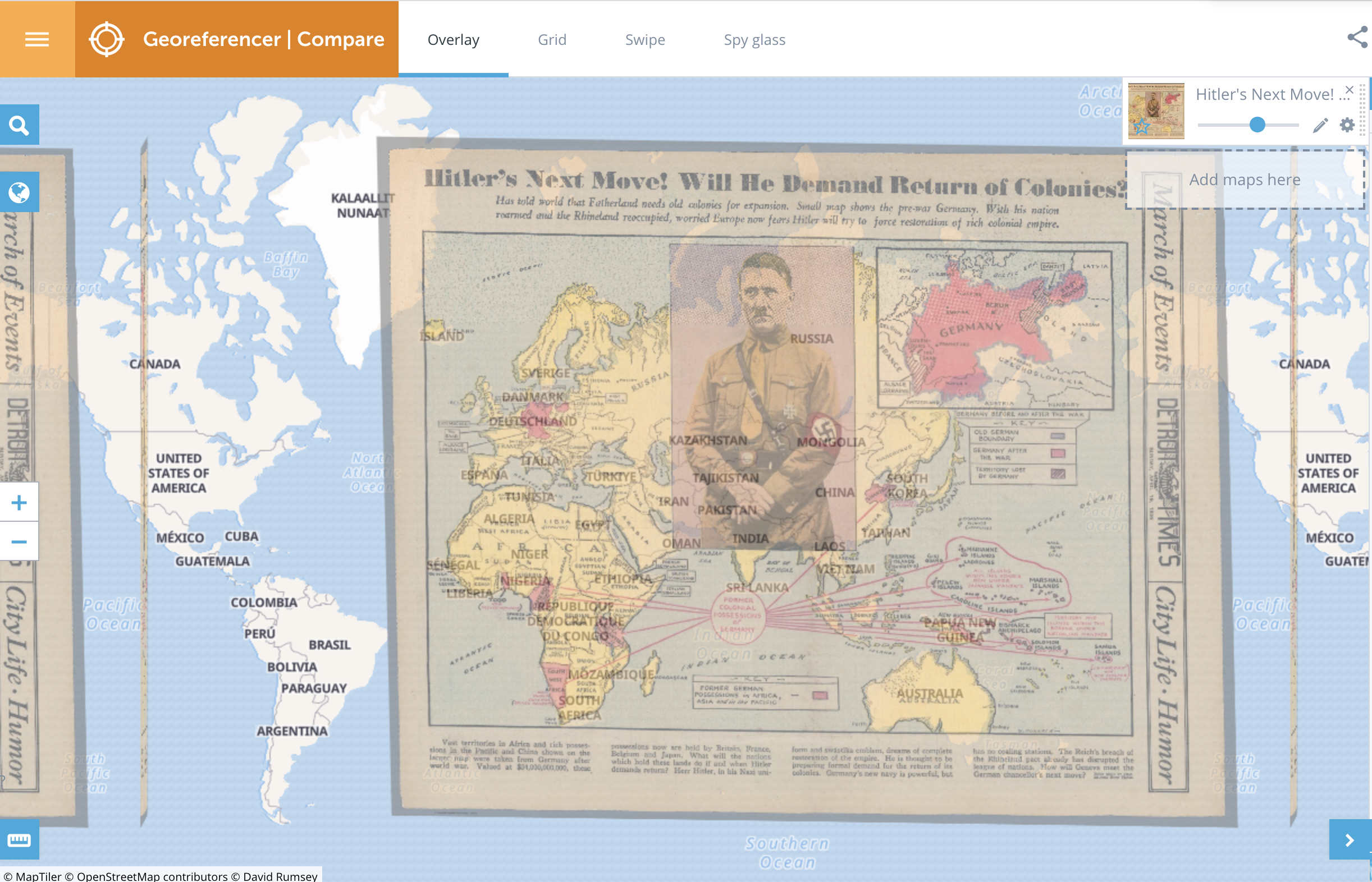
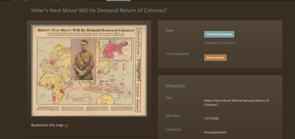
I worked with a map titled ‘Hitler’s Next Move! Will He Demand Return of Colonies’ on the David Rumsey Map Collection website and was pleasantly surprised by how easy the website was to navigate. It is home to a vast collection of digitised maps to choose from and I picked this one because it seemed very interesting and I wanted to learn more about it. I thought the georeferencing process would be harder to pick up but it was a breeze because of the layout of the website and the features available to me for use. The newest version of the tool and the website interface was well structured and aesthetically appealing. I chose the control points for my map and then did the overlay and comparison procedure which revealed some interesting information about how the landscape had changed since 1936 when the map was published, especially boundaries and demarcations in the European area.
Shifting gears a little bit, I explored Carleton’s digital archives and was immediately drawn to the audio recordings of past faculty, student, and staff interviews about their lived experiences at Carleton. I delved into them a little bit and am excited to potentially explore them more for the final project. The recordings date back to 1971 and there are at least 500 available records to look through. I believe these will reveal interesting and fascinating information about Carleton’s history and the evolution of the community and communal relationships on campus.
Digital storytelling, text analysis and 3D modelling are some tools and topics we explored in class that I am extremely excited to play with more and incorporate into my final project. I’m open to working with any student who is equally interested in these topics and wants to explore them further.